- Advertisement -
- Advertisement -
Atmospheric River Brings Severe Weather to Northern California
Overview
Timeline of Weather System
Monday Evening
- Continuous rain returns after sunset
- Precipitation intensifies overnight
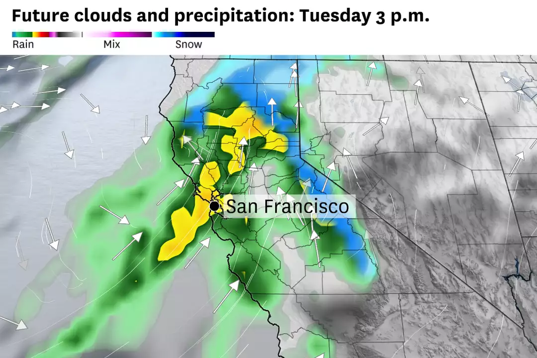
Tuesday (Peak Impact)
- Heaviest rainfall and strongest winds expected
- Cold front may stall over Bay Area
- High risk of excessive rainfall and flooding
Wednesday
- Conditions improve by afternoon
- Return to dry weather
Regional Impact Analysis
Bay Area
- Rainfall: 1-4 inches expected
- Wind Gusts:
- Up to 50 mph near water and hills
- 25-40 mph in valleys
- High-Impact Areas: San Francisco, Richmond, Berkeley, Oakland
- Moderate flood risk in urban areas
Valley and Foothills
- Valley Rainfall: 1.5-2 inches
- Foothill Rainfall: 2-4 inches
- Wind Gusts: 40-45 mph
- Risks: Localized flooding, standing water on poorly drained roads
Sierra Nevada
- Heavy snowfall above 6,000 feet
- Snow Accumulation:
- 12-18 inches at Donner Pass
- 1-2 feet above 7,000 feet
- Travel strongly discouraged on Tuesday
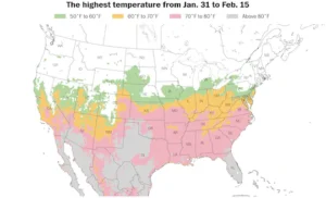
Over 200 million people across 30+ states will experience temperatures above 60°F this week, with some areas reaching 70s and even 80s.
(Source: Ben Noll / ECMWF)
Coastal and Surrounding Areas
- Pacific Coast/Peninsula: Gusts exceeding 50 mph, heavy overnight rain
- North Bay: Light to moderate rain, up to 4 inches in mountains
- East Bay: Increasing rain and wind, particularly in Berkeley/Oakland hills
- South Bay/Santa Cruz: Enhanced precipitation in Santa Cruz mountains
Primary Hazards
- Flooding: Urban and low-lying areas at risk
- Transportation: Severely impacted by rain, snow, and wind
- Power: Potential outages due to strong winds
- Infrastructure: Possible tree damage
Extended Forecast
- Dry conditions return Wednesday afternoon
- Another storm system possible by week’s end
- Additional strong winds anticipated with next system
This atmospheric river event requires careful monitoring, particularly in flood-prone areas and higher elevations where snow accumulation could create hazardous conditions.
Northern California atmospheric river forecast: Heavy rain, snow return Monday night